
Web Mapping
We are currently experiencing data provenance issues that have prevented us from updating the mapped features. We are actively working to obtain the necessary data directly from a Wisconsin DNR source. At this time, we anticipate releasing the January 2026 map update by mid-February 2026.
At Axefoot Forestry, we build practical, data-driven web map tools designed to support foresters, loggers, and land managers in the field. Our maps are created with a clear focus: help forestry professionals plan and act with confidence.
Our first offering is the Managed Forest Law (MFL) Practices Tracking Map, a spatial tool built to identify MFL plans with required practices due within the next five years. Whether you’re planning harvests, evaluating project feasibility, or working to coordinate multiple timber sales, this tool is designed to streamline your workflow.
Subscription Access
The MFL map is available by subscription at $5/month, payable via PayPal. This helps cover the ongoing cost of development, updates, and hosting.
To learn more about what’s included and see screenshots or feature notes, visit the detailed map information page below.
More web maps will be added over time as we expand the platform to meet the needs of landowners and forestry professionals alike.
MFL Practices Tracking Map
This web-based map application displays scheduled MFL practices in a user-friendly, interactive format. Users can:
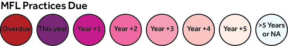
- View scheduled mandatory practices by year by stand
- See legal descriptions, acreage, and timber types
- Jump directly to parcel locations via Google Maps
- Easily scout and group harvest opportunities
Sample of the MFL Practices Tracking Map
Below is a snapshot of the MFL Practices Tracking Map focused on Township 36 North, Range 01 East in Price County. The full application includes all MFL points statewide, providing comprehensive coverage across Wisconsin.
Start at the statewide view and zoom in to explore individual plans. Click on the points to see detailed information about each MFL practice.
Use the search bar in the top-left corner to find MFL plans by number. The map will automatically zoom to the selected plan. The search behaves like the WisFIRS tool and will automatically insert hyphens as needed.
Purpose of the Map
This map was created to help foresters and loggers identify MFL plans with mandatory practices due within the next five years. The goal of this web application is to enable stakeholders to locate MFL parcels and easily view scheduled practices in a spatial context. By presenting this information clearly and accurately, the tool facilitates more effective timber sale planning, utilizing data curated specifically for practical, on-the-ground use.
Additionally, this tool helps stakeholders evaluate projects of interest, support the aggregation of smaller timber sales, identify potential opportunities, and reduce costs associated with moving harvesting equipment between sales.
The data presented is suitable for use in completing EUDR (European Union Deforestation Regulation) forms required by mills, thereby helping to streamline compliance with emerging international sourcing standards.
Clicking on an MFL point reveals a pop-up containing the following information:
- MFL Order Number
- Legal Description (as provided by the Wisconsin Department of Natural Resources)
- Latitude / Longitude (clickable link opens the location in Google Maps)
- Upcoming Practices Table (organized by year then by stand)
- Stand
- Year Due
- Timber Type
- Practice Due
- Total Stand Acres
Some MFL plans include numerous scheduled practices. A scroll bar has been added to the popup table to ensure all stands and practices can be easily viewed.
Anticipated Web Map Applications and Features
Plan Filtering
- Planned as a higher-tier option at $20/month to cover additional hosting costs. This version will include advanced filtering to help users quickly find plans with upcoming practices.
- http://shiny.axefootforestry.com
- This web application is clunkier than expected. It often crashes, but a working model is available. We are looking into ways to bolster the performance without increasing costs exponentially.
- http://shiny.axefootforestry.com
Additional odds and ends (to be determined)
- Select points from a buffer.
- Data export.
Update Timeline
This application is updated quarterly to ensure data accuracy and relevance. Updates are completed between the 1st and 15th of each scheduled month.
- January
- April
- July
- October